Five... Portraits of St. Paul's Cathedral
Maps, essays, watercolour paintings, wartime photography
Hi and welcome to your bank holiday weekend newsletter… ☀️
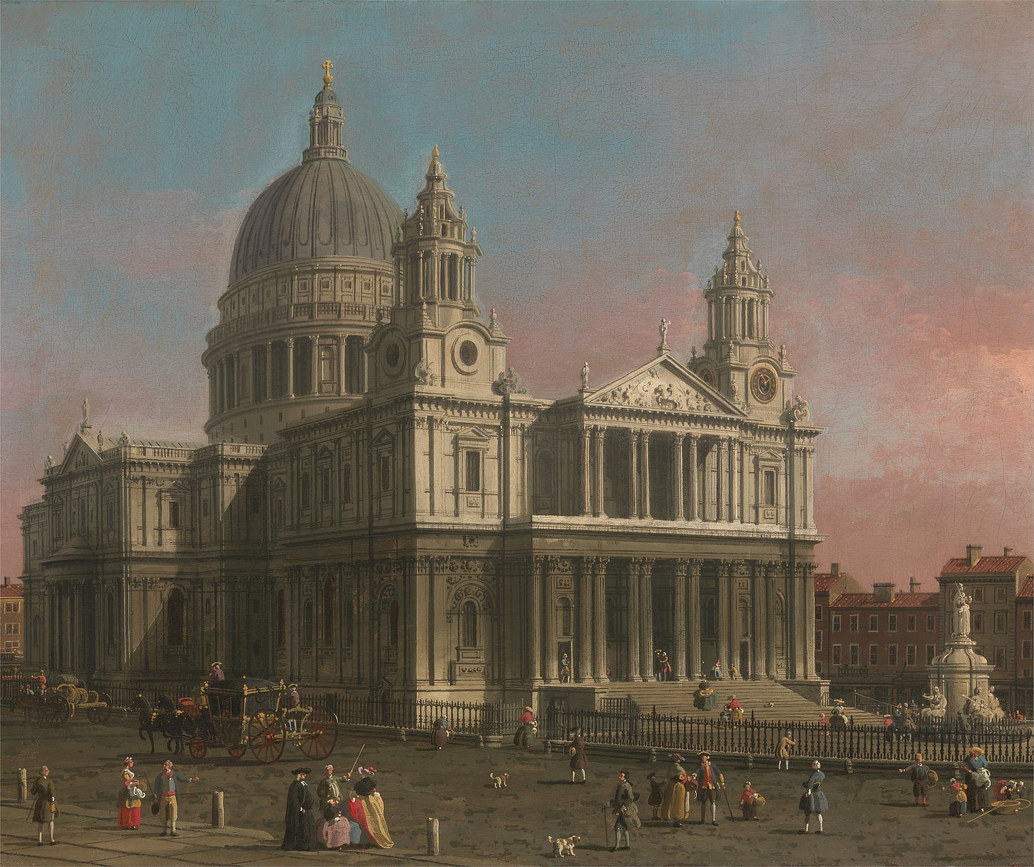
This week’s edition is a handful of depictions of St. Paul’s Cathedral from throughout the centuries, from Tudor maps to Bloomsbury Set essays.
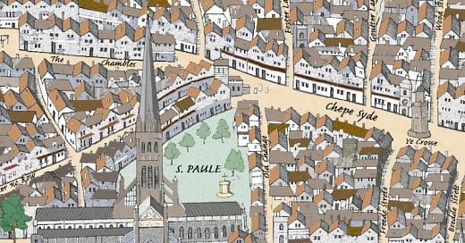
Copperplate map of London, 1550s
(colourised by
, 2024…)If you caught our series on the Copperplate panels, where Matt Brown took the oldest known maps of the city and coloured them in, you might remember the section from the western panel of the map (full, high res version at the link) which covers Old St. Paul’s.
At the time this map was created, it was still nearly 100 years before Christopher Wren, architect of the cathedral as it stands today, would be born; it was around 160 years before our current version of St. Paul’s Cathedral was completed. The cathedral charted here is Old St. Paul’s, a key landmark and towering presence in the city for centuries, till it burned down in the Great Fire of 1666. Started in the time of the Conqueror, Old St. Paul’s grew to become easily the tallest building in London - almost as tall as the Walkie-Talkie, before the spire (around 150 metres high) was destroyed in an earlier fire in 1561.


